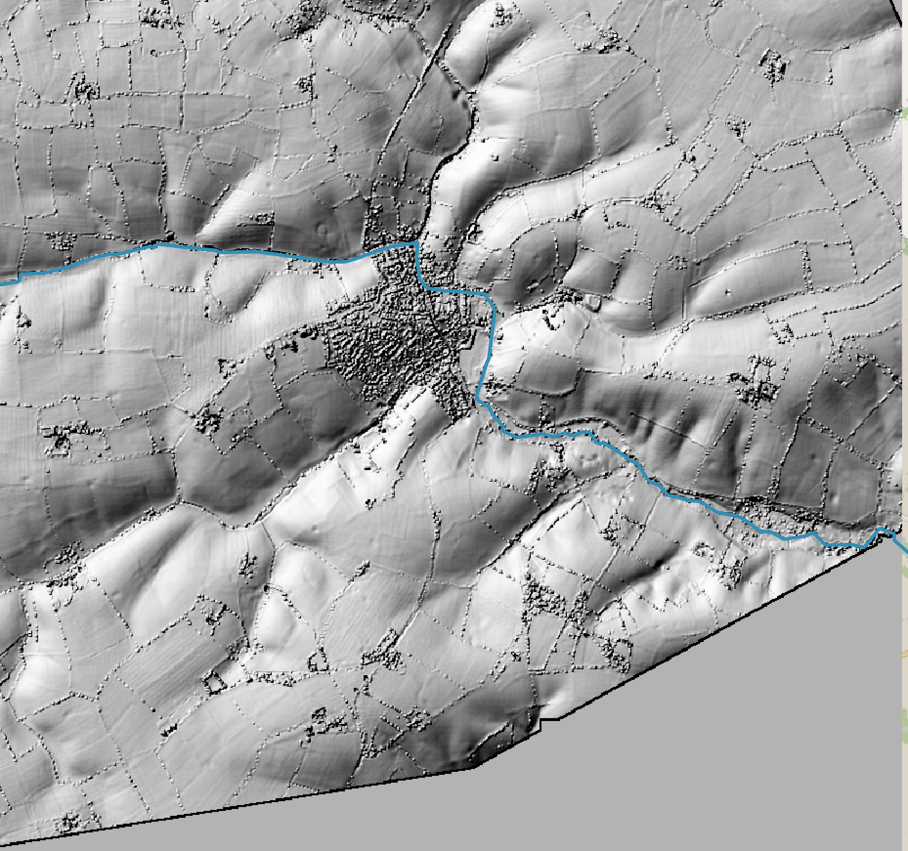
BiodiversityRiver water qualityDeben catchmment admin8 months ago7 months ago01 mins Defra map of upper Deben catchment area (above Brandeston) Lidar image of area surrounding Debenham admin | Debenham Green Team Lidar image of land around Debenham visualises water flows converging. Related Post navigation Previous: Cycle ridesNext: Christmas delivery by electric bike Leave a Reply Cancel replyYour email address will not be published. Required fields are marked *Comment * Name * Email * Website Save my name, email, and website in this browser for the next time I comment.